The Infill Trend
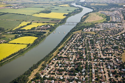
Monday, September 1st, 2014The current population of the city of Edmonton is around 835,000.
Projections expect that number to break one million within the next 10 years. If that number is hard to swallow, consider these statistics: in the next 30 years there is an expectation of half a million new residents living within city limits. That’s like the entire population of Saskatoon, Saskatchewan picking up and moving to Edmonton…TWICE. Every one of those 500,000 new neighbours of ours will need a bed to sleep in, a kitchen to cook in, and access to all the same amenities we use each and every day.
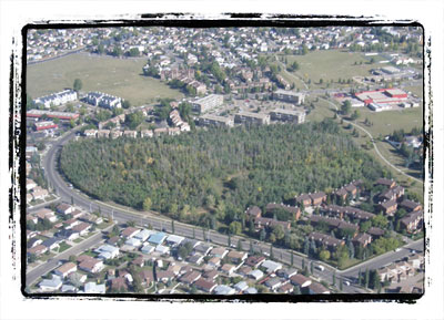
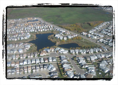
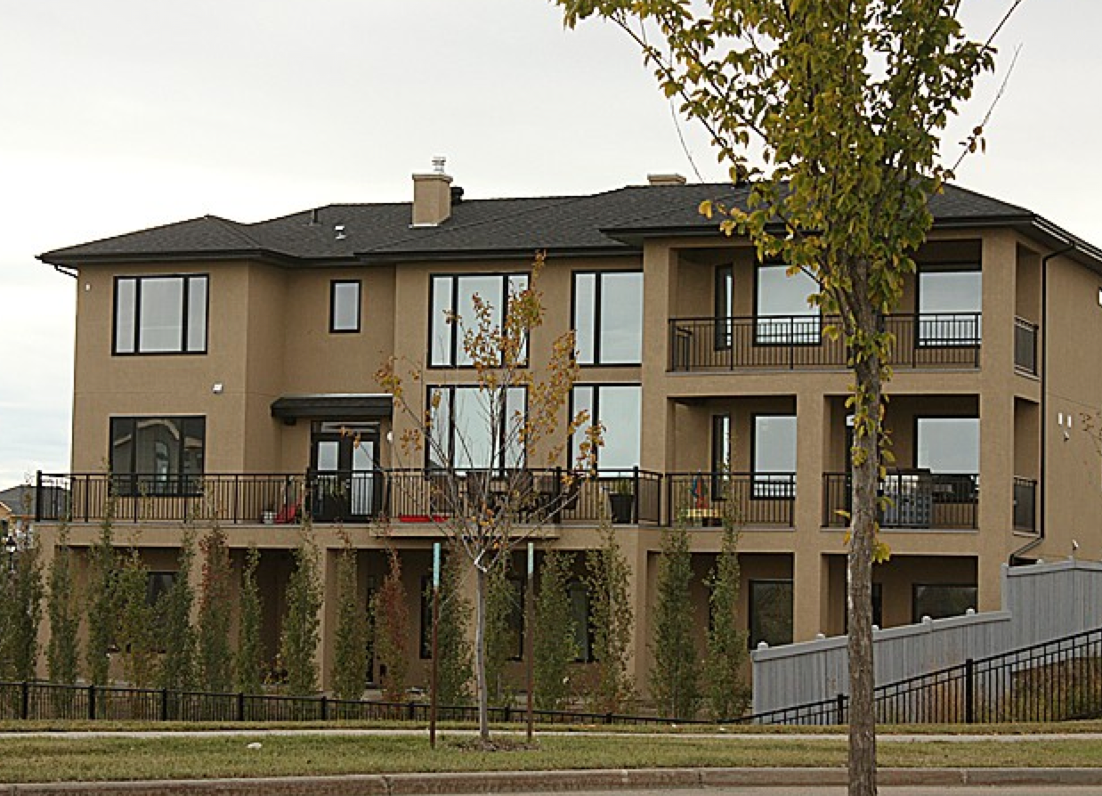
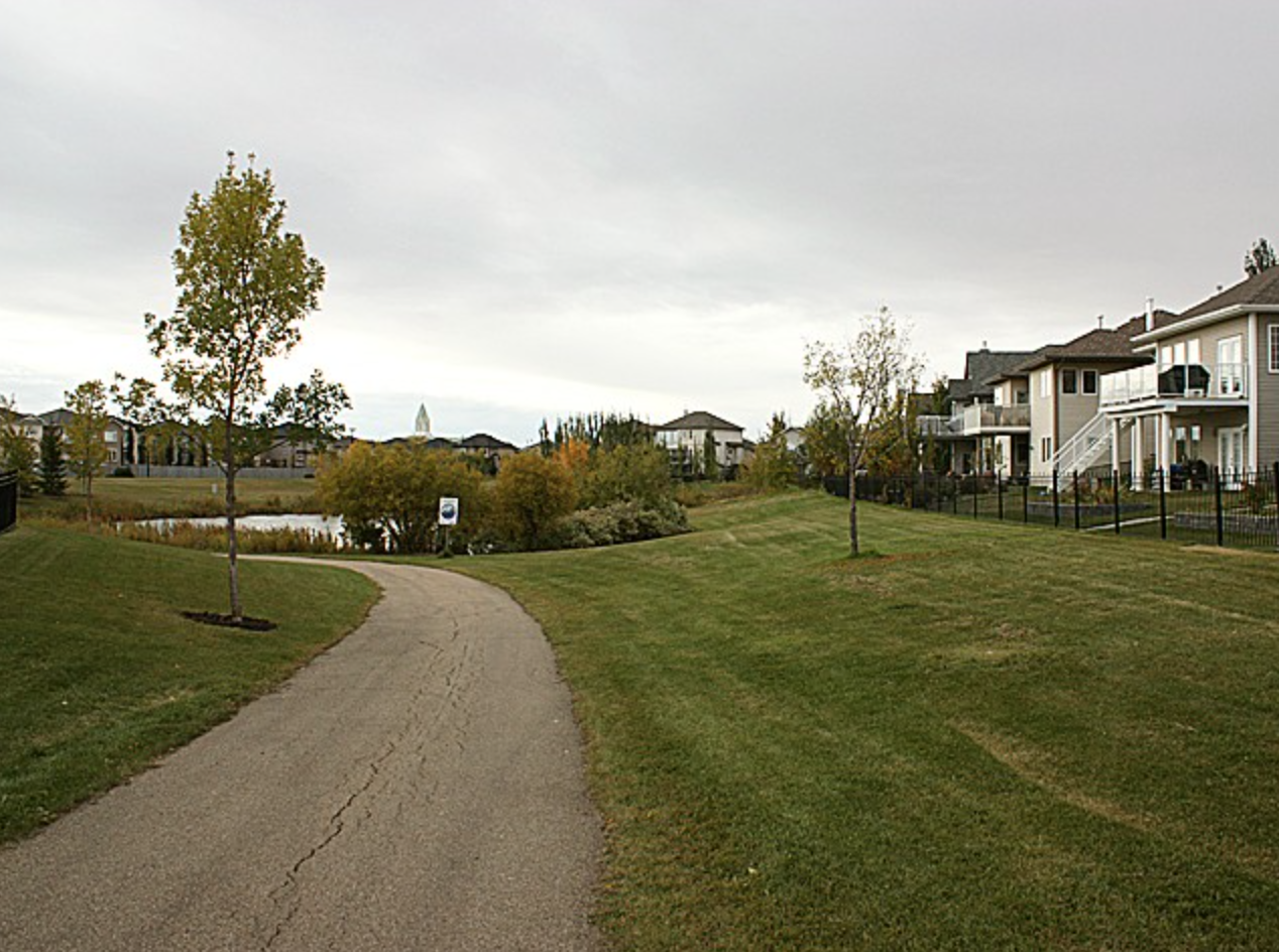
What is the key to this potential population crunch? New housing in established neighbourhoods. And the number one strategy to achieve this measure is infill projects.
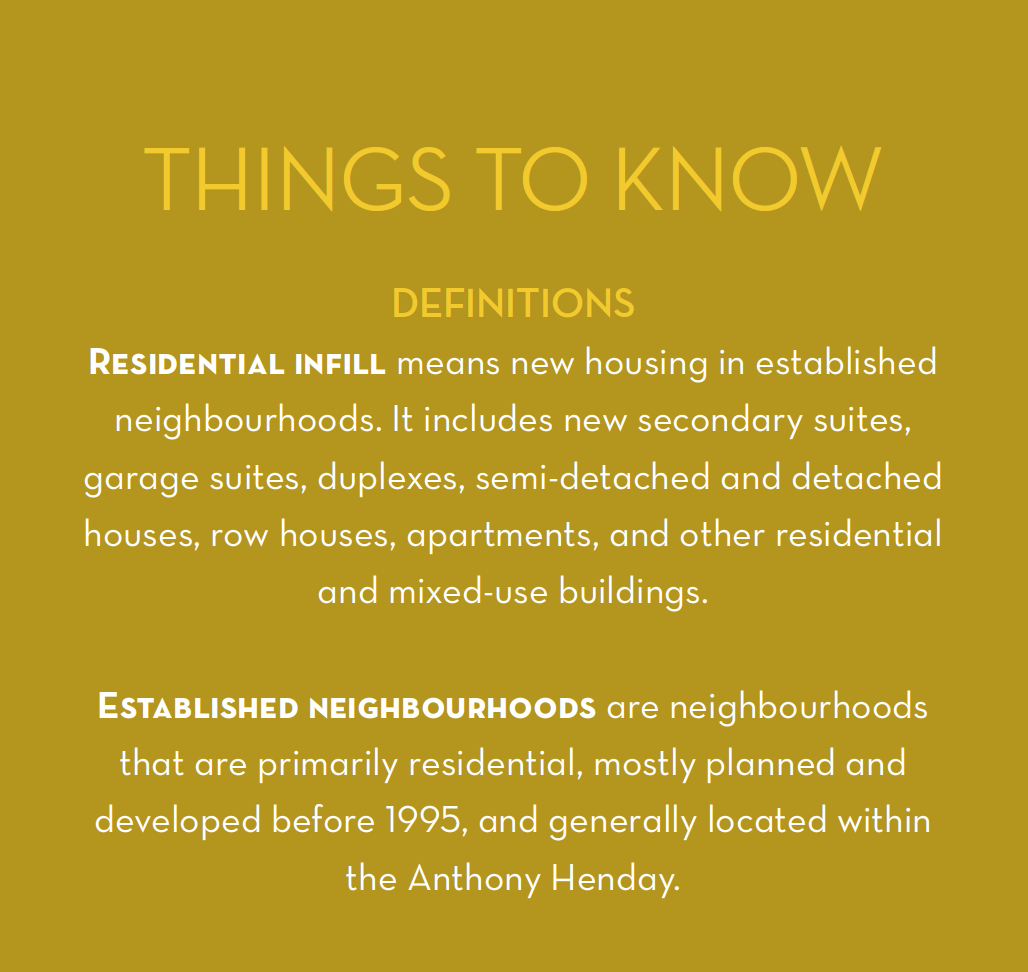
Project Definitions. Source: City of Edmonton
The City of Edmonton is looking ahead, and presently establishing solutions to keep the city thriving while supporting an elevating population in the distant, as well as not-so-distant future. The city developed the “Evolving Infill” project which liaised with any and all interested members of the community to establish a conversation about the pros and cons of the upsurge of residential infill. The dialogue took place from November 15, 2013 and was wrapped up this August, 2014 when an extensive report was been published with in-depth responses to the challenging questions posed to concerned citizens.
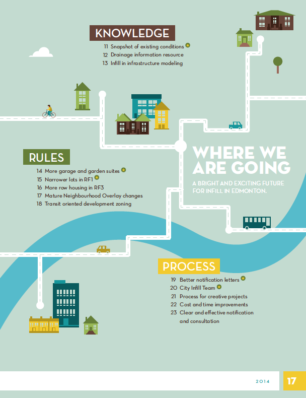
Taking into account the information gleaned from this project, the city is now able to move forward in an effort to encourage and support the creation of more diverse housing options. The two year work plan explains measures taken to make the entire infill process more streamlined, with higher degrees of efficiency. Many of these measures address the inefficiencies of bureaucracy and attempt to remove some of the red tape attached to municipal construction projects. Examples include addressing zoning bylaw location criteria (opening up more opportunities for garage or garden suites), changing RF1 zoning to allow narrower subdivisions of land, and simplifying approval processes for medium density houses in RF3 zones.
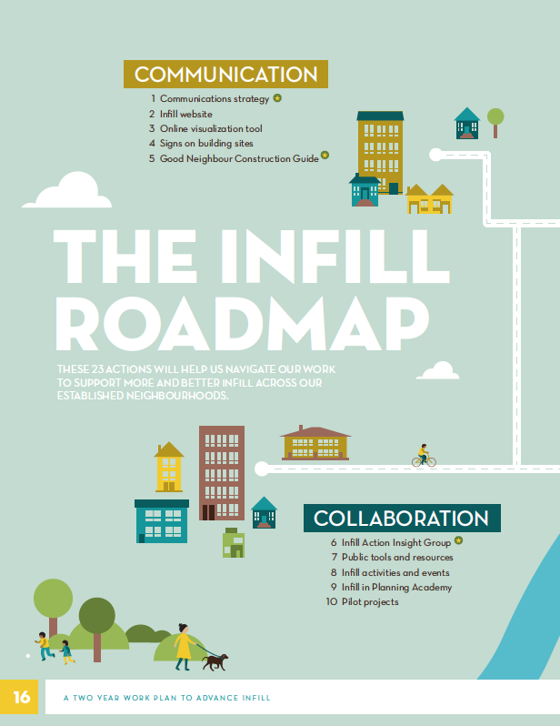
The city has published a user friendly guide to this new action plan (in plain English for us non-contractors out there), “Edmonton’s Infill Roadmap” outlining measures and approaches expected to change in the coming months and years.
Excerpt from the publication. Source: City of Edmonton
Excerpt from the publication. Source: City of Edmonton
According to an anonymous contributor to the report:
“My neighbourhood desperately needs to infills to replace tired housing stock, and also to provide enough density to support the schools and commercial businesses in the area.”
While a contractor explains:
“If garage suites were allowed, this would allow the original house to stand and the homeowner still to increase density while also having an income suite.”
Infill is important for a young, growing city; by making the best use of existing infrastructure we can allow for the thriving population expected within the next three decades. For more information on infill visit the City of Edmonton’s website, to create a custom search of properties available for purchase CLICK HERE and speak with an agent about exciting potential for infill projects in an area of your choice.