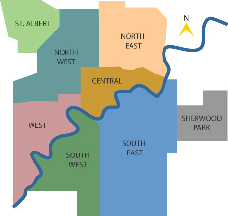
Beyond YEG Borders: St. Albert
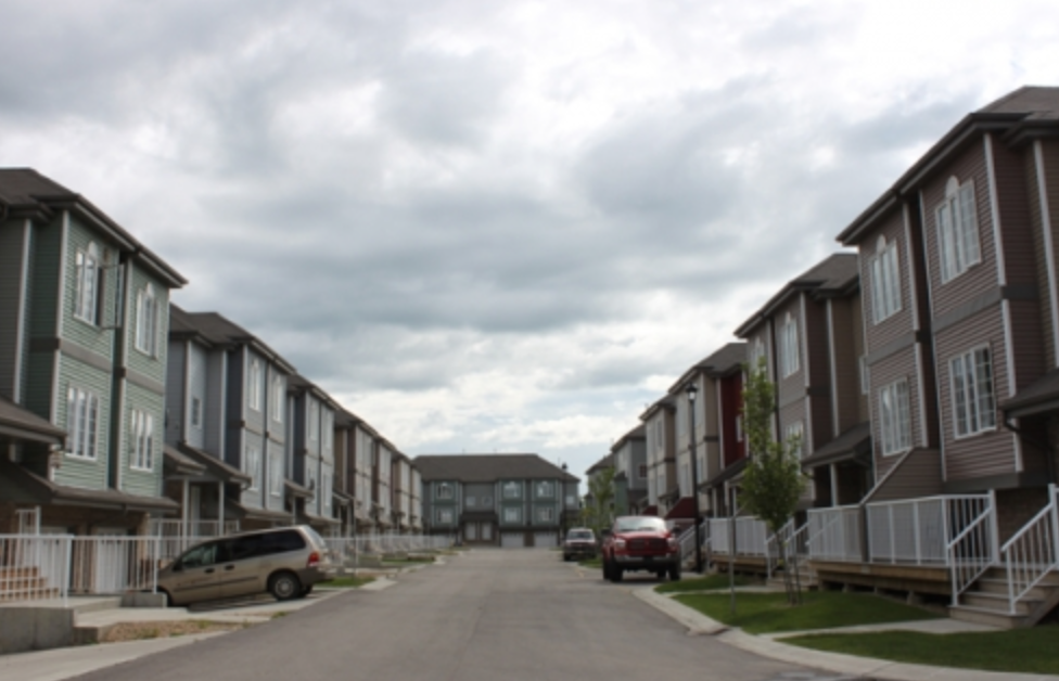
August 18th, 2014St. Albert is located in Edmonton’s north-westernmost corner, with major throroughfares connecting the two. Though St. Albert’s borders are virtually indistinguishable from Edmonton’s, it is politically deemed a separate city. With a geographical area of just under 50 km squared and a population of over 61,000 and growing, it is a fraction of Edmonton’s size, yet encompasses all the amenities of, and proximity to, big city life.
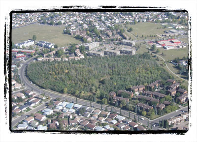
Map showing Saint Albert’s proximity to Edmonton. Image Credit: nacha.ca
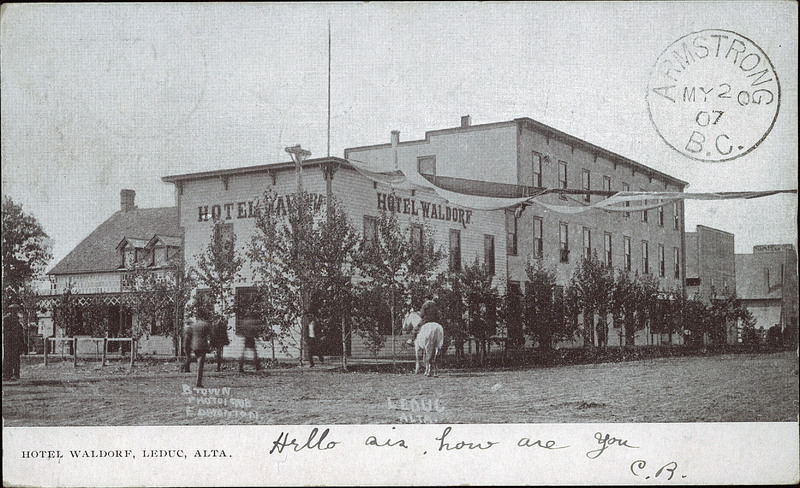
The surprisingly independent community has its own rich history separate from the development of Edmonton. Founded in 1861 by Father Albert Lacombe,2 the the small Métis community became the town of St. Alberta in 1904. It thrived, due to it’s proximity to Fort Edmonton, and become known locally as a popular resting point for journeying First Nations peoples on their travels. Agriculture, and specifically the construction of two important grain elevators, contributed significantly to the burgeoning economy.
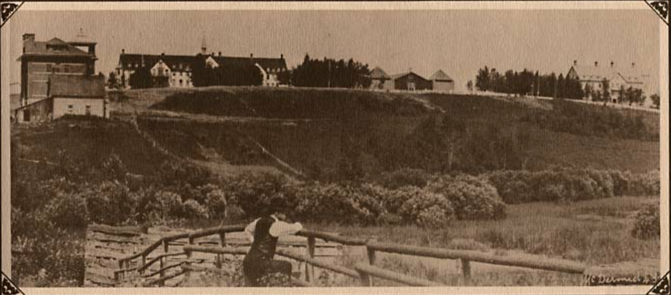
St. Alberta, 1912. Image Credit: St. Albert Historical Network
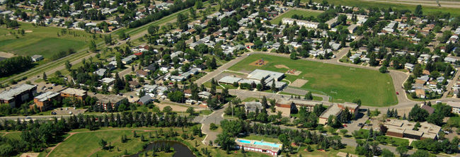
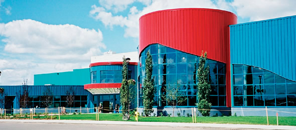
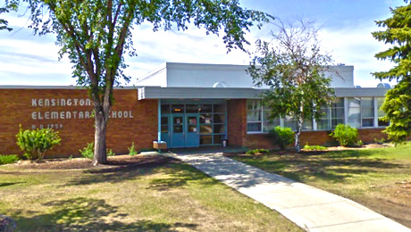
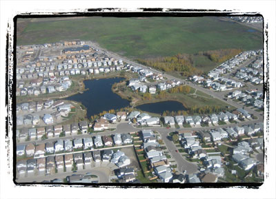
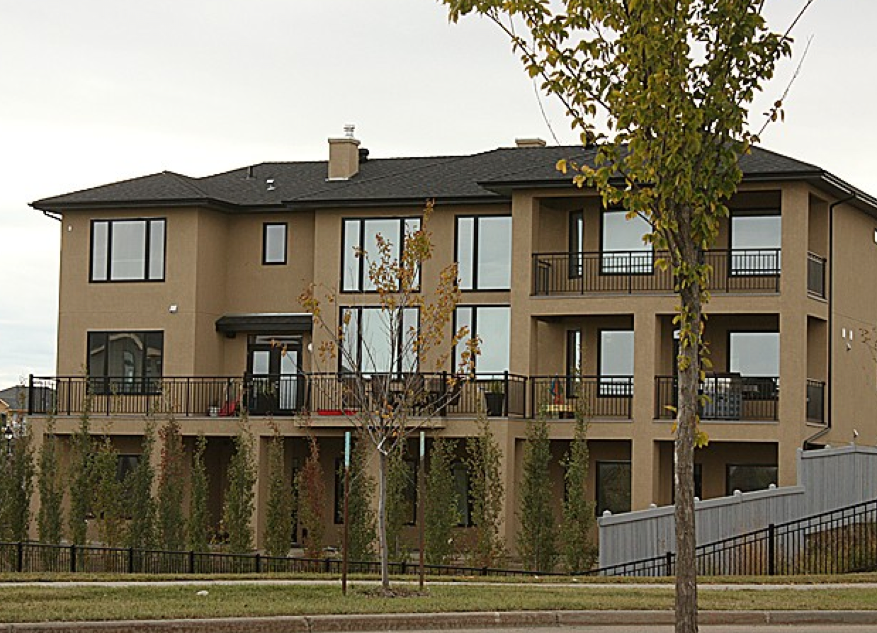
Through it’s evolution from settlement, to Town, to City, St. Albert has developed a strong foundational infrastructure. The city has it’s own transit system, the renowned Sturgeon Community Hospital, a public school system, an Athabasca University satellite campus, and a municipal governing body comprised of a mayor and six city councilors. The city also has a blend of residential communities and major commercial areas, including St. Albert Centre, a premier shopping destination.
Just last year, MoneySense Magazine, published an article on the best places to live in Canada, and the top ranking city was none other than St. Albert, Alberta. The ranking accounted for criteria such as employment rate, public transit, arts and culture, crime rates, and access to medical care. Here is the SHAW TV report on the article:
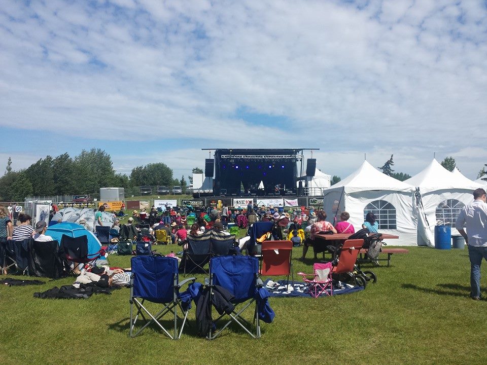
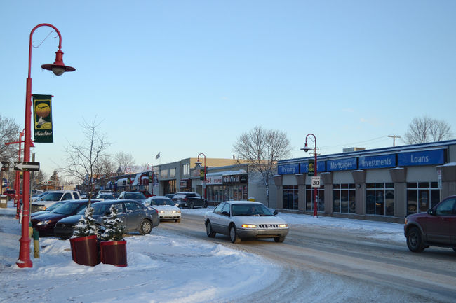
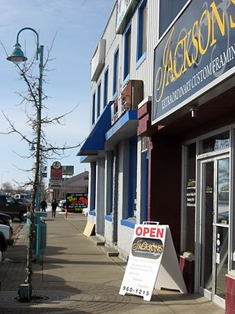
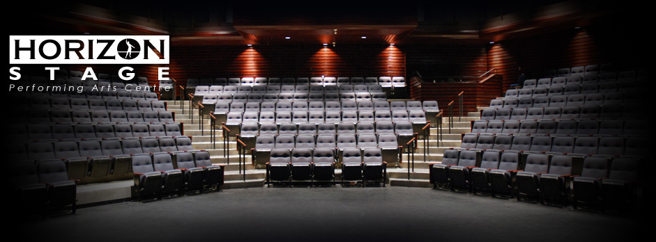
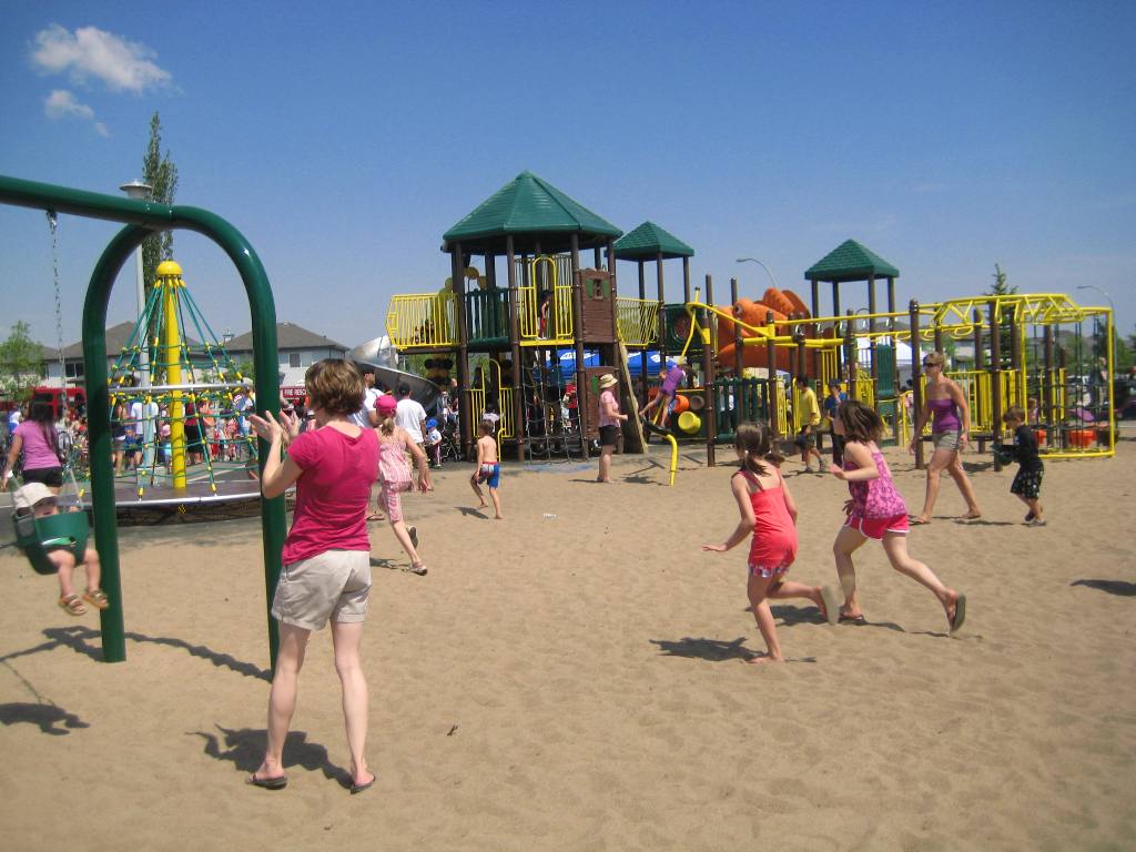
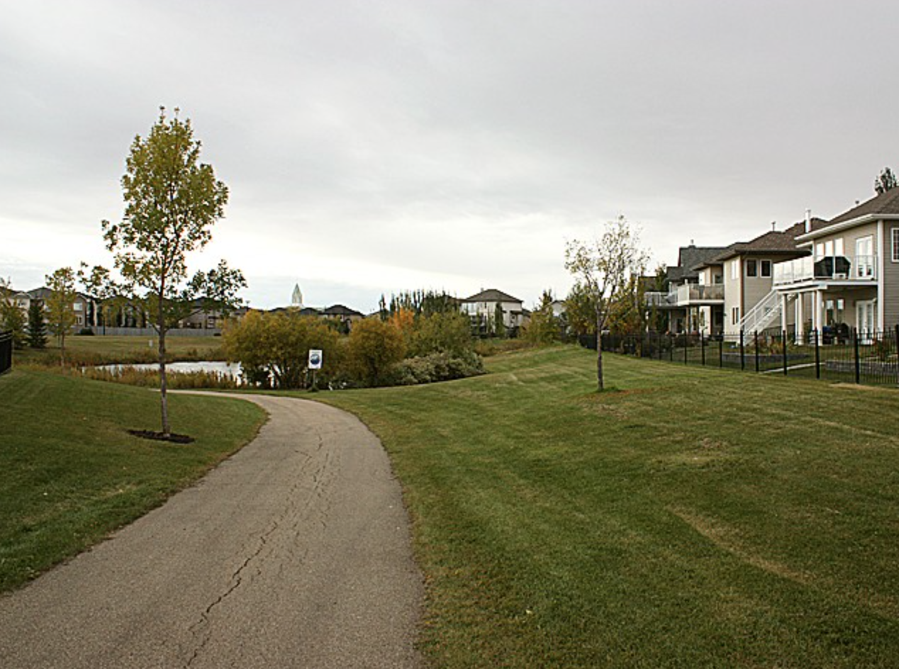
St. Albert has a noteworthy arts and cultural community, with thriving establishments like the Art Gallery of St. Albert, and St. Albert Place. For the more recreationally inclined, the city is renowned for it’s Red Willow park trail system, the recently developed, Servus Credit Union Place.
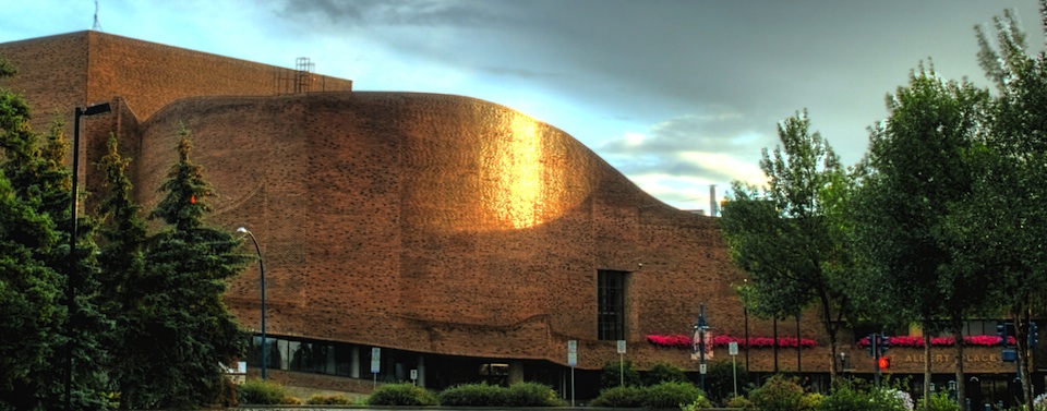
St. Albert Place. Image Credit: AlbertDiary.ca
CLICK HERE to view available properties in St. Albert.