Beyond YEG Borders: Fort Saskatchewan
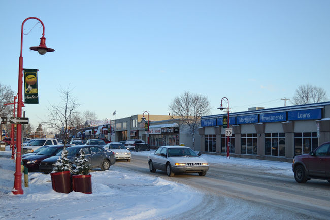
Monday, July 21st, 2014Fort Saskatchewan is one of the closest areas to Edmonton with ‘city’ rather than ‘town’ status. The larger region is home to about 21,000 citizens residing across 48 square kilometres. Highway 15, better known to locals as Manning Drive connects the city of Edmonton to Fort Saskatchewan, about a 30 minute drive from city centre. Hardly rural, Fort Saskatchewan is bordered by the booming areas of Sturgeon County on its north and west corners , Strathcona County to the south and east sides, with Edmonton falling to the southwest of the city.
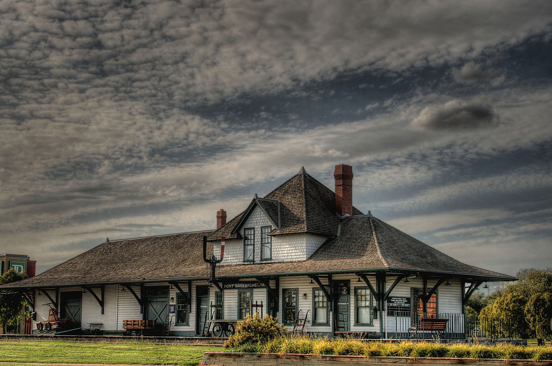
Historic Fort Saskatchewan Train Station. Image Credit: Winterforce Media
Historically, as the name suggests, the city was originally a fort established in 1875 by the North-West Mounted Police. Previously, the area which was rich in resources was used by the Hudson’s Bay Company and the North-West company to build canoes and some trade was established. However it wasn’t considered a residential area until 1899 when it became a village. By 1905 the Canadian Northern Railway would pass through Fort Saskatchewan, literally and figuratively putting it on the map. This long history has created deep cultural roots and strong economic foundations for the community to thrive.
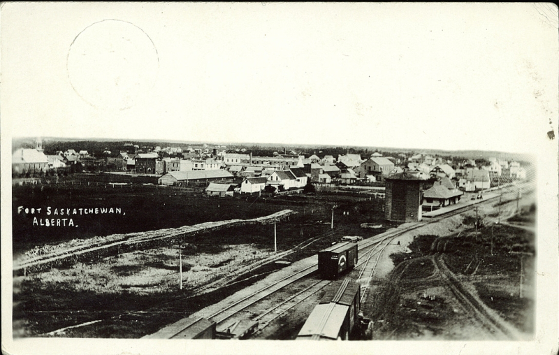
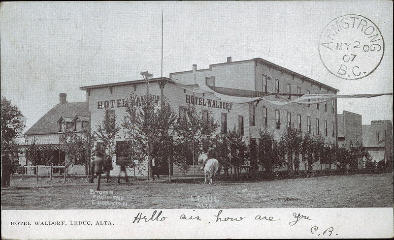
Fort Saskatchewan circa 1916. Postcard from the Bruce Peel Collection, University of Alberta
A unique amenity of Fort Saskatchewan is the Dow Centennial Centre, a facility that accommodates both recreation and cultural activities, built to commemorate Alberta’s centennial. The recreational side of DCC includes a skating rink, gymnasium, field house, indoor track, and fitness centre. For the more artistically inclined the facility includes a 550 seat performing arts theatre, art gallery, banquet hall, and pottery guild.

Pavilion at the Dow Centennial Centre. Image Credit: Fort Saskatchewan Record
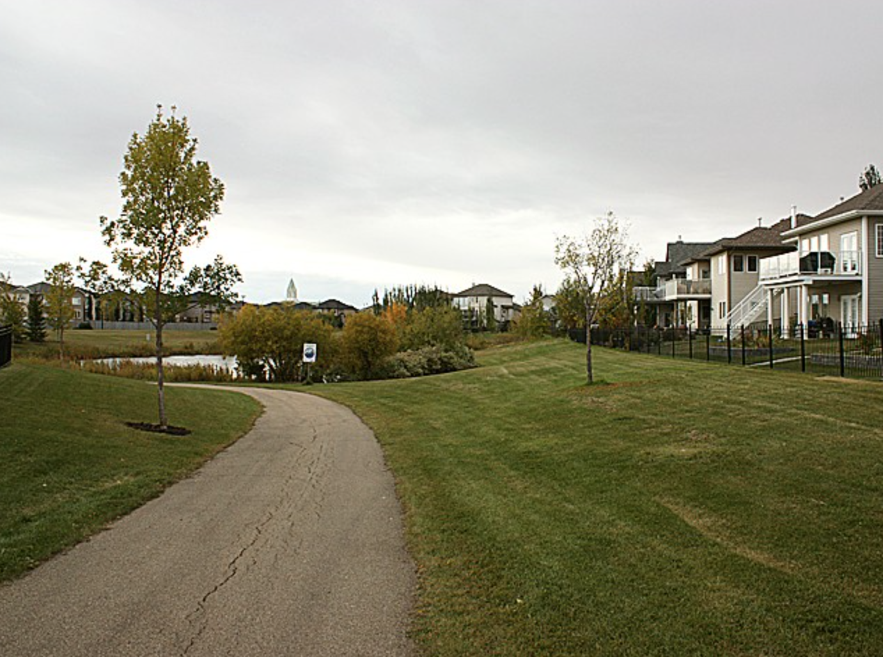
Additionally, there are two more recreation centres that house ice rinks, an indoor pool, and many outdoor amenities. Town infrastructure includes 30 kilometres of paved walking trails throughout over a dozen parks, including Legacy Park. This central gathering area hosts a majority of the city’s outdoor festivals. Elk Island is great nearby option for a day trip out of the city. The national park is just a stones throw from the city limits to the southwest, about a 30 minute drive.
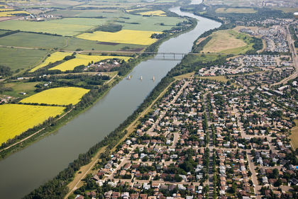
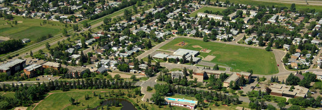
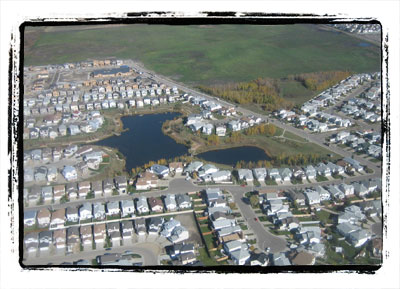
Aerial View of Fort Saskatchewan. Image Credit: Edmonton Journal
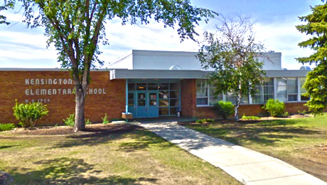
The area is served by the Fort Saskatchewan Community Hospital, 7 elementary schools, 3 junior high, and 3 high schools. Many graduates choose to take post-secondary schooling in Edmonton and make the quick daily commute into the city. Two local newspapers report on the city, including The Fort Saskatchewan Record, and The Sturgeon Creek Post. As of 2012 the town officially was approved for their own radio station, 107.9 FM.
CLICK HERE to view properties for sale in Fort Saskatchewan.